
Solution 05
Visual Intelligence.
Automated image and video analysis. Change detection over satellite, video analytics over urban, security and industrial cameras.
What it is
Computer vision over your existing coverage.
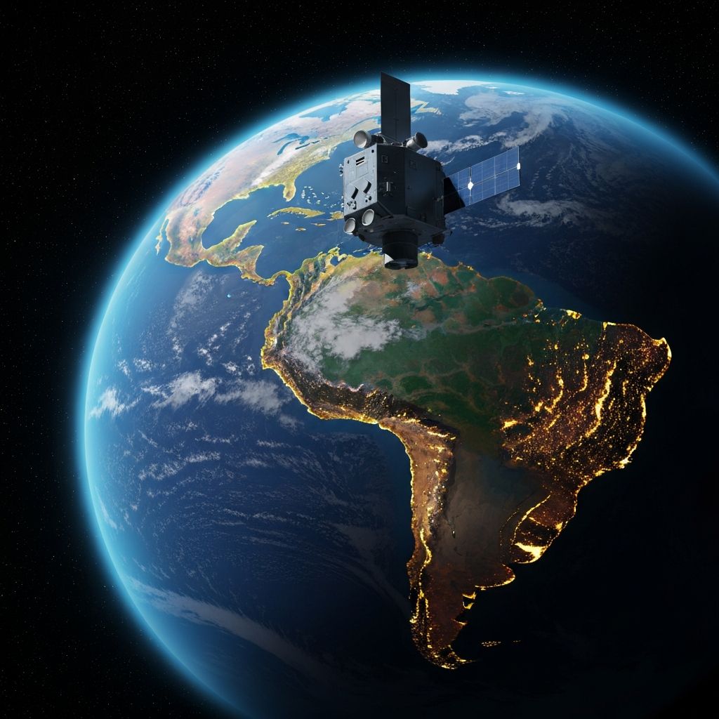
Visual Intelligence is the automated analysis layer over every image your organization already captures: commercial or proprietary satellites, urban cameras, security CCTV, drones and industrial cameras. Naboo processes, compares and detects changes without an operator having to watch the screen.
What it does
Operational capabilities.
Satellite change detection
Multi-temporal comparison over optical and SAR imagery. Detects earth movement, land cover, infrastructure and deforestation.
Camera video analytics
Real-time processing over existing urban, security and CCTV cameras. No need to replace the installed equipment.
Object recognition
Vehicles, people, equipment, behaviors. Models trained on the client's domain when needed.
Counting and movement patterns
Real-time occupancy, pedestrian and vehicle flows, anomalous densities at mass events.
Perimeter detection
Intrusion, abandoned objects, movement during unauthorized hours. Fewer false positives through correlation with other sources.
Automatic georeferencing
Every finding lands on the map with coordinates, time and the source camera or satellite pass.
What it delivers
Actionable outputs.
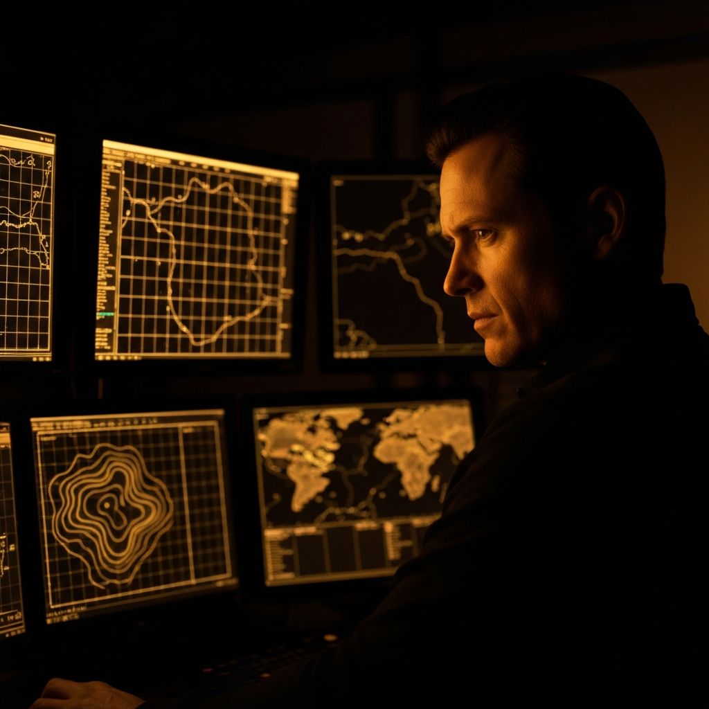
Images don't reach the operator as video. They arrive as events, alerts and data layers the rest of the platform can consume.
Geolocated real-time alerts
When a visual change or event meets the defined criteria, it reaches Inbox with its context and Centinela as an actionable event.
Change layer over the map
A temporal view of what changed, where and when. Useful for later analysis and executive reporting.
Video snippets as evidence
Clips tagged with metadata: time, camera, detected object, confidence score. Auditable.
Occupancy and flow reports
Time series by camera or zone. Exportable for integration with external dashboards if needed.
Use cases
Where it applies.
Composition
Four modules for this solution.
Halcón captures and processes the image. Inbox unifies the findings with the rest of the data. Oráculo correlates and prioritizes. Centinela coordinates the response.
Halcón
Observes signals and territory
Satellite, radar, sensor and social signals on a single screen. What you normally wouldn't see in time.
Inbox
Unifies the data
A single inbox for every signal, normalized and with its origin.
Oráculo
Predicts and simulates
Anticipates what's about to happen and shows what breaks if it does.
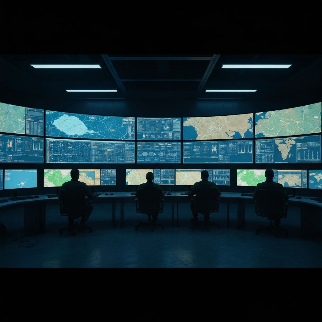
Centinela
Coordinates the operation
The command center where your team sees the operation, decides and coordinates the response.
Next step
From the image to the event.
A technical session on your satellite coverage or your camera network.